
A Fort Myers elevation certificate can reveal a costly design problem before construction starts. It records how a building’s measured elevations compare with the flood information used for local review. If you are buying a lot or planning to rebuild, that comparison can affect the foundation, access, equipment placement, and budget.
The certificate informs review, but it doesn’t approve a permit. Before committing to a design, verify requirements with the building department and floodplain manager. If available, a flood survey may help clarify whether planned work could be a substantial improvement.
Key Takeaways
- The form records building features and surveyed heights; it doesn’t establish the height required for your new home.
- Compare the flood zone, Base Flood Elevation, building diagram, and floor elevations. Check the Base Flood Elevation against the proposed finished floor elevation, but don’t treat it as the approved design height.
- A Fort Myers mailing address may fall under city or unincorporated Lee County rules. Confirm the jurisdiction before planning the build.
- For new construction, arrange elevation checks at the required stages. A final certificate alone may come too late to correct a framing-height problem.
What This Certificate Shows
An elevation certificate is a FEMA form documenting a structure’s location, flood map information, building characteristics, and measured elevations. A qualified professional certifies the survey information. Local officials can use the form to review floodplain compliance, while insurers may use it to assess a property’s flood characteristics.
For a buyer, its value is practical: it shows what was measured at an existing building. A vacant lot won’t have completed building elevations to certify. A certificate for an older house also won’t establish approval for a future build.
We recommend keeping the document with the property survey, approved plans, inspection records, and final permit documents. Those records give a future buyer or contractor a clearer picture of what was built and approved.
Read the Property and Flood Map Details First
An elevation certificate contains several elevations, but first confirm that it describes the right building and uses the right map information. An address match is a starting point, not the full check.
Match the Certificate to the Structure
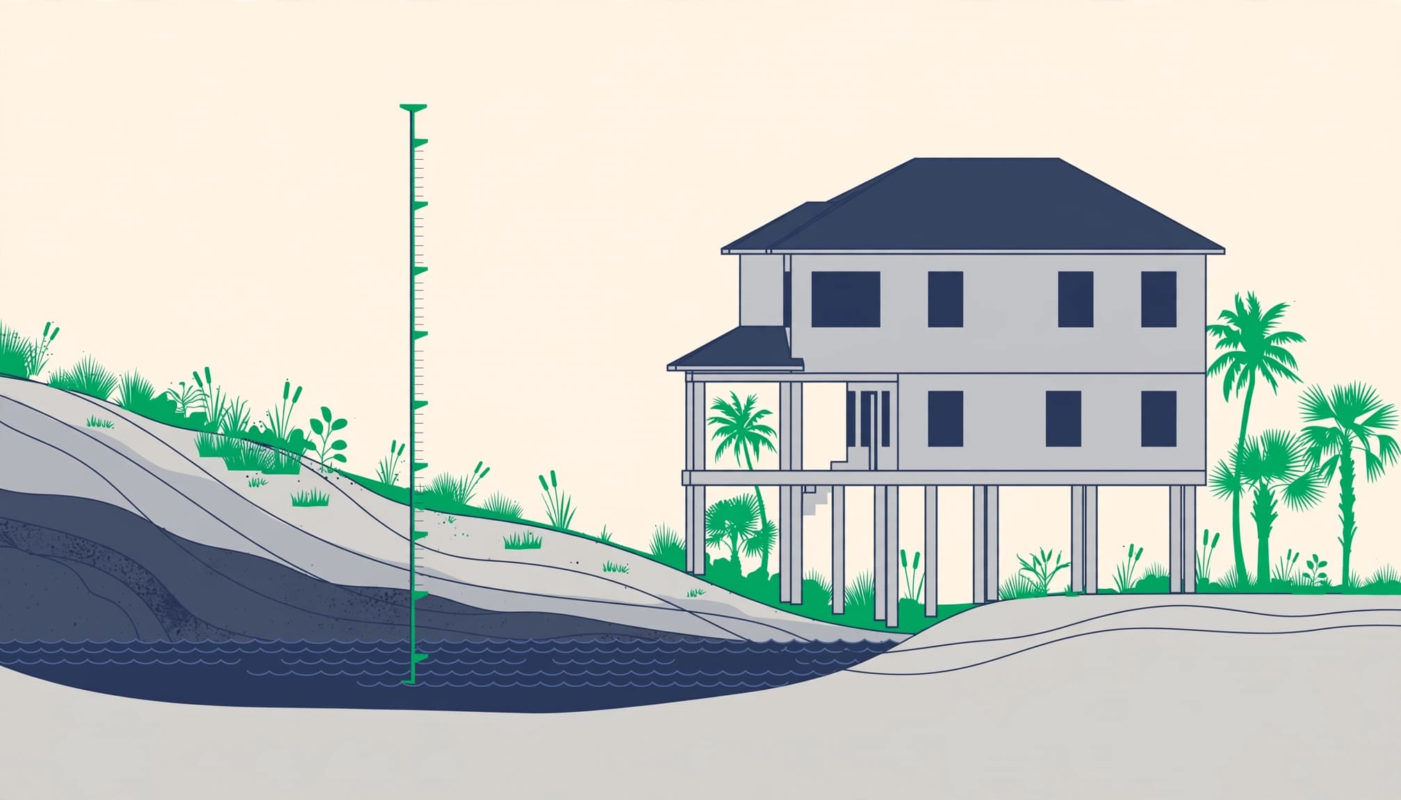
Review Section A for the address, building use, photographs, and building diagram. The diagram matters because it describes the structure the surveyor measured. An elevated home with space beneath it is different from a slab-on-grade home.
If a previous owner enclosed the lower level, added an attached garage, or changed equipment locations after the survey, ask whether the certificate still reflects the building. Compare relevant flood survey information with the certificate, and ask the floodplain manager about any discrepancies. An older document can be useful for research without being sufficient for a new permit or insurance review.
Check the Map Panel and Flood Zone
Section B contains Flood Insurance Rate Map information. On commonly used FEMA forms, B8 identifies the flood zone and B9 lists the Base Flood Elevation, or BFE, where one is provided. Confirm the form’s current instructions, since versions can change.
Compare the map panel, effective date, and elevation data with FEMA flood maps and FEMA’s National Flood Hazard Layer resources. Zones AE and VE are Special Flood Hazard Areas with different construction considerations. Zone X generally sits outside that mapped area, but rainfall, drainage problems, and surge can still threaten a home there.
Compare BFE With the Correct Building Elevation
An elevation certificate shows BFE, or Base Flood Elevation, as a mapped floodwater elevation measured against a vertical reference system. It isn’t the home’s finished floor elevation. It also isn’t the final required construction elevation when a local rule adds height above BFE, often called freeboard.
Identify the Lowest Floor and Other Measurements
Section C contains surveyed building elevations on many FEMA certificate versions. Look for the top of the bottom floor, which records the elevation of the building’s lowest floor, along with attached garage elevation, lowest adjacent grade, and machinery or equipment elevations. These describe different parts of the property; they aren’t interchangeable.
In coastal high-hazard areas such as Zone VE, the elevation of the lowest horizontal structural member is particularly important. Don’t assume the number labeled “top of bottom floor” answers every coastal construction question. Ask the surveyor or local floodplain reviewer which measurement governs your proposed design.
Compare Numbers Using the Same Datum
The certificate should identify the vertical datum used for its measurements. The BFE and building elevations must be on a consistent datum before you subtract one from the other. If the records use different datums, have the surveyor reconcile them rather than making your own conversion.
Then compare the relevant building elevation, including lowest adjacent grade where applicable, with BFE and the locally required design elevation. A floor above BFE may still be too low for approval when additional height is required.
A positive difference above BFE doesn’t, by itself, prove that a new home meets local construction requirements or qualifies for permit approval.
That distinction affects more than floor height. Raising a home can change the foundation, steps, driveway connection, drainage, and placement of mechanical equipment. We prefer to resolve those dimensions before the floor plan and site plan are finalized.
Confirm Whether the City or County Sets Your Requirements
A Fort Myers mailing address doesn’t necessarily place a property within City of Fort Myers limits. It may be in unincorporated Lee County, where flood hazard rules may differ. Identify the jurisdiction, then contact its building department and floodplain manager about approvals.
In unincorporated Lee County, new structures in the Special Flood Hazard Area zones A, AE, AH, AO, and VE may need an elevation certificate during construction and at completion. City properties follow their own review process. Before construction, confirm current design elevations, certificate timing, form version, and permit requirements with the responsible office. Request a separate flood survey only if that office requires one.
This distinction matters when a property owner buys an existing home for replacement or a substantial improvement. Damage from Hurricane Ian, prior repairs, or planned work may bring the project under current floodplain rules and the building code. The local reviewer determines applicability; an insurance estimate or old certificate doesn’t decide eligibility or approval.
We coordinate floodplain questions early in residential construction planning and zoning approvals. Clear requirements make it easier to develop a realistic scope before you commit to the build.
Use Elevation Checks During Construction
For a new home, the elevation certificate is a working construction record. Approved plans set the target, and field measurements show whether work is on track.
Check Before Framing Advances
Unincorporated Lee County may require elevation documentation before vertical construction reaches the first permanent horizontal member. Ask the building department or floodplain manager to confirm the checkpoint and accepted form for your permit. Compare field measurements with the approved plan and benchmark at that stage. The team can correct discrepancies before more framing and finishes go in.
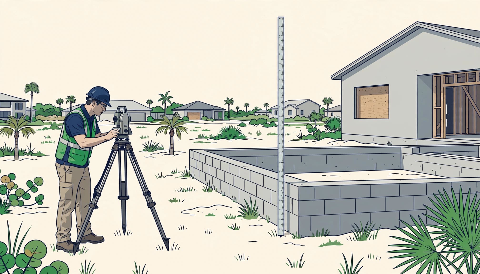
We recommend having the builder, surveyor, and designer agree on the benchmark and required elevations before foundation work begins. Have the surveyor verify the finished floor elevation and lowest adjacent grade against the plans. A small misunderstanding on paper can become an expensive physical correction.
Close Out With the Final Certificate
If your permit requires a flood survey, a final survey records the completed building’s elevations for local review. Keep that certificate with the certificate of occupancy, approved plans, and inspection records. Buyers and future contractors may need those documents long after construction ends. The final record doesn’t guarantee approval.
A PSM surveyor, a Florida-licensed Professional Surveyor and Mapper, is a common choice for this work. FEMA’s form also allows qualified professionals in other licensed disciplines where authorized; confirm who the local office will accept. Our construction permit FAQs explain how we handle permits as part of a project, but survey certification must come from an authorized professional.
Find an Existing Certificate Before Ordering a New One
Start with the seller’s records if you are buying an existing home. Request the elevation certificate, current property survey, permit history, and approved plans for additions or flood repairs. Check whether the certificate predates changes to the building.
Search Local Records
Lee County offers flood-risk and certificate access through its flood-related property resources, a useful starting point. Confirm that the record matches your jurisdiction. For a property inside city limits, ask the building department and floodplain manager which office has the relevant files and what records are available.
No certificate on file doesn’t prove one was never prepared. The previous owner, insurer, lender, or original surveyor may have a copy. Check the survey date and building description before deciding whether it can support your project.
Request a Project-Specific Quote
If you need a new survey, ask a Florida-licensed land surveyor what work is needed, including whether a flood survey is necessary. Clarify whether the quote covers fieldwork, map and datum research, building photographs, a signed certificate with certified elevation data, or construction visits.
There is no dependable flat price for every Fort Myers property. Access, existing records, building complexity, and required site visits can affect the work. Compare the deliverables and timing, not only the quoted fee.
Provide the address, available survey, and plans. Explain the permit scope, including whether the work may qualify as a substantial improvement.
Understand Insurance and Map-Change Options
This document can help an insurer evaluate a building for flood insurance, but it doesn’t guarantee a lower insurance premium. FEMA’s flood insurance certificate guidance explains how building elevations may affect rating. Under the National Flood Insurance Program’s Risk Rating 2.0, you don’t need a form to buy coverage; ask your agent whether submitting one could help your quote or whether the Community Rating System affects community-level rates. That isn’t a guaranteed individual discount.
A building in a Special Flood Hazard Area may trigger a mandatory coverage requirement when it secures a federally backed mortgage. That requirement concerns the mapped building and the loan, not a blanket rule that every borrower must provide this form. Ask your mortgage lender about its requirements.
Consider a LOMA When the Map Appears Wrong
If surveyed information suggests a lot or structure was incorrectly included in a mapped flood hazard area, ask the surveyor whether a LOMA could correct the map. FEMA’s LOMA and LOMR-F guidance distinguishes naturally elevated property from property raised by fill.
The request generally needs property identification, map information, and certified elevation data for FEMA’s flood hazard review. FEMA charges no review or processing fee for the request, although survey work has its own cost. A LOMA is a FEMA map determination, not a construction permit. It doesn’t guarantee that all local requirements or insurance conditions will change. Confirm local requirements with officials, and ask your lender whether any insurance condition changes.
Frequently Asked Questions
Is a Certificate Required Before Buying a Vacant Lot?
A vacant lot has no completed building elevations to certify. Before closing, request available surveys, check the flood map, and ask the local floodplain office what elevation and construction documents a proposed home will need. That review can reveal foundation and access costs before you settle on a design.
Can an Older Certificate Be Used for a New Build?
Use it to research the property’s history, not to certify a home that doesn’t exist yet. Changes to the map, structure, or proposed design may make new measurements necessary. The permit authority will tell you which construction-stage and final documents it requires.
Does a Certificate Prove the Property Won’t Flood?
No. It records measurements at a point in time. Flood maps don’t account for every drainage problem, and a map amendment doesn’t remove the possibility of flooding. Review coverage options even when insurance isn’t mandatory.
Build With the Right Elevation Information
The number that matters is the approved design elevation, backed by current map information and accurate survey work. Reading the certificate carefully helps you ask better questions before a foundation is built or a purchase becomes final.
We can help connect those property conditions to a clear construction plan. If you are preparing a Fort Myers home project, Get In Touch to discuss the scope and the records you already have.